Egilsay
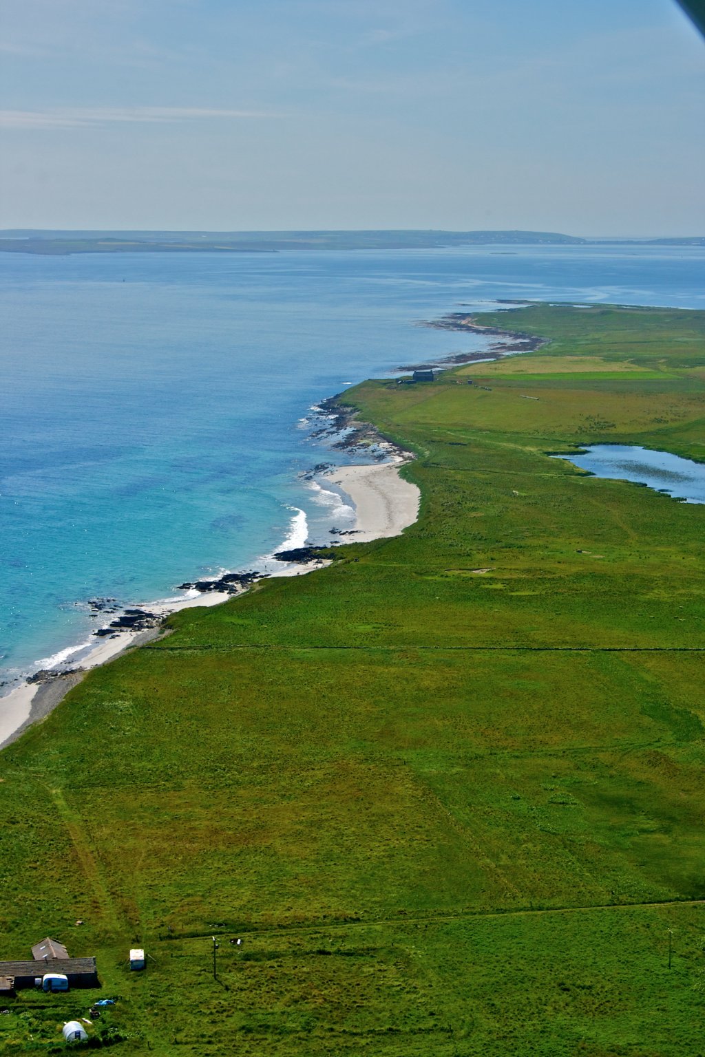
The vegetation is a mix of improved pasture with rougher areas of grass and heather moorland on higher ground. Settlement is scattered across inland parts of the island.
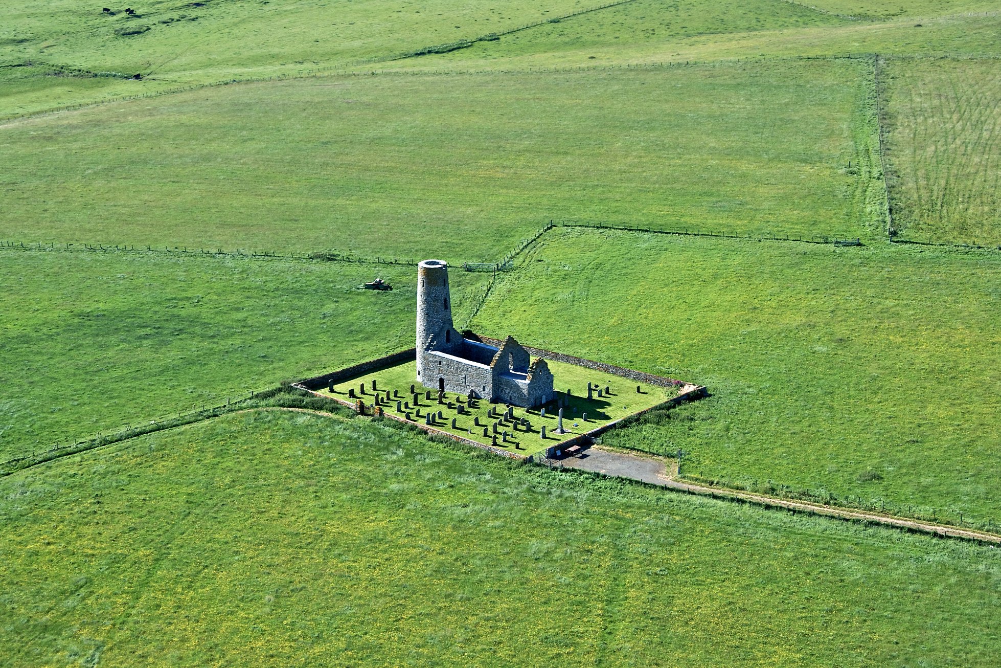
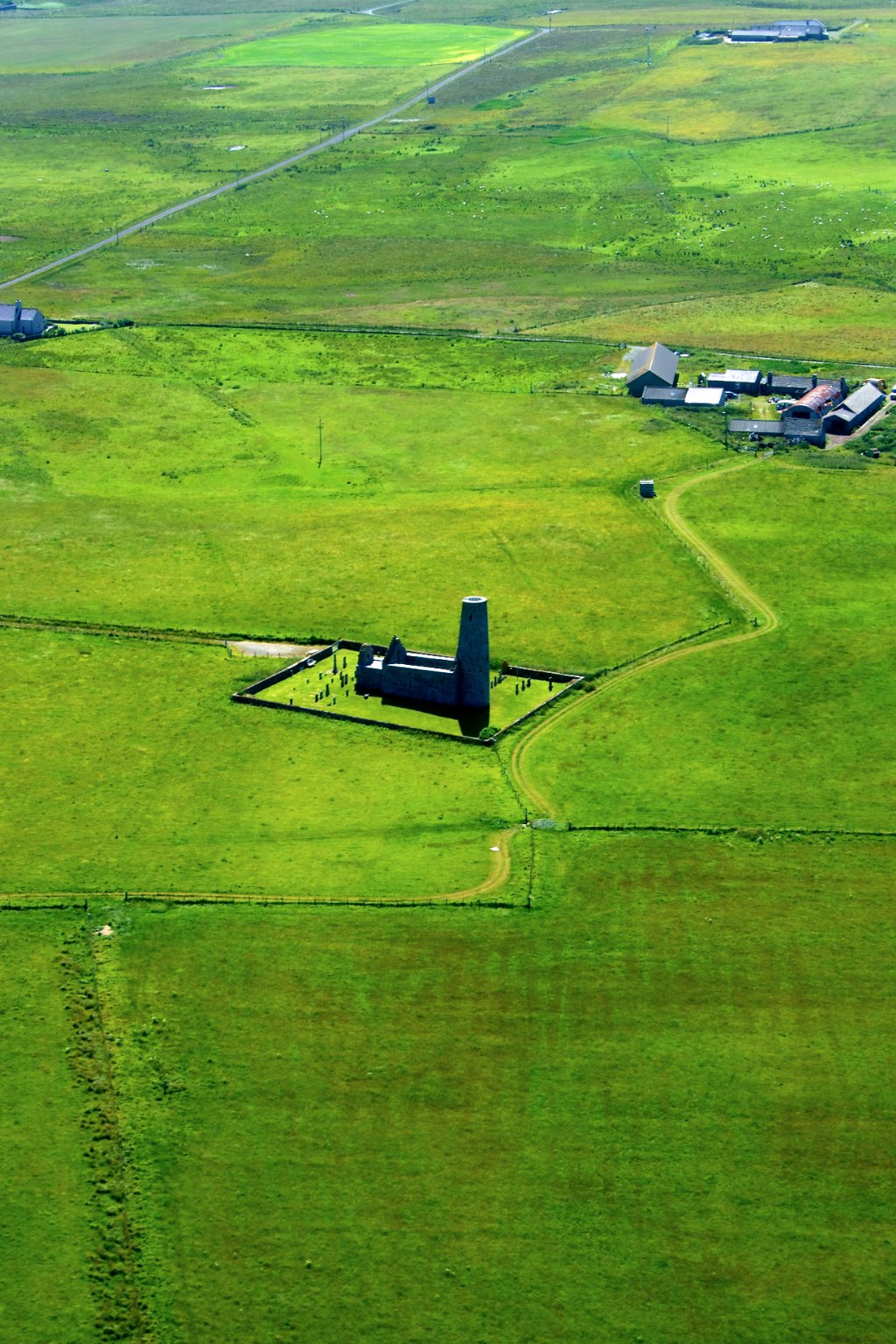
The round tower of the 12th century, St Magnus Kirk is the most prominent feature on the skyline and is visible several miles away. St Magnus was killed in Egilsay and it is thought the kirk was built to mark the site of his martyrdom.
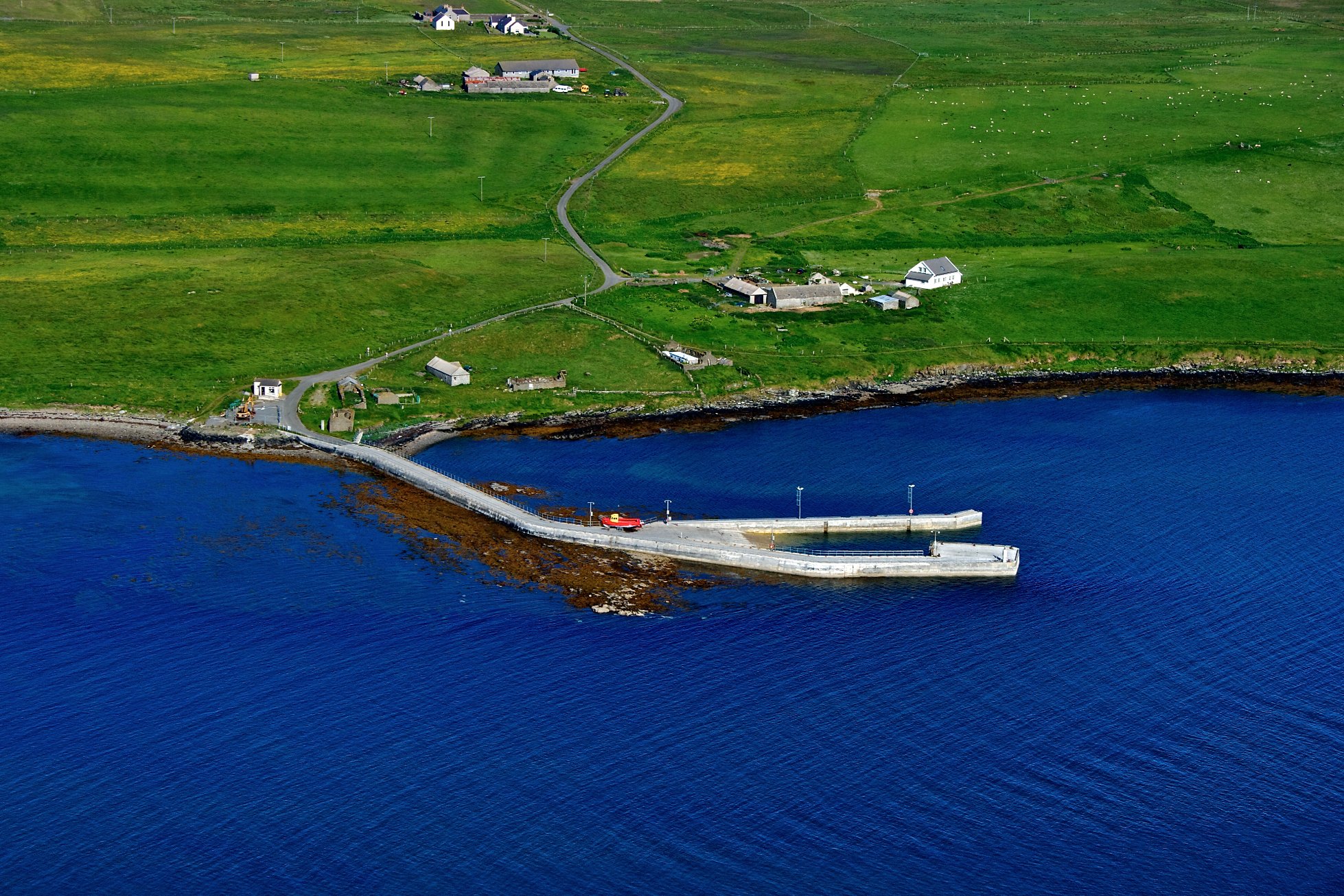
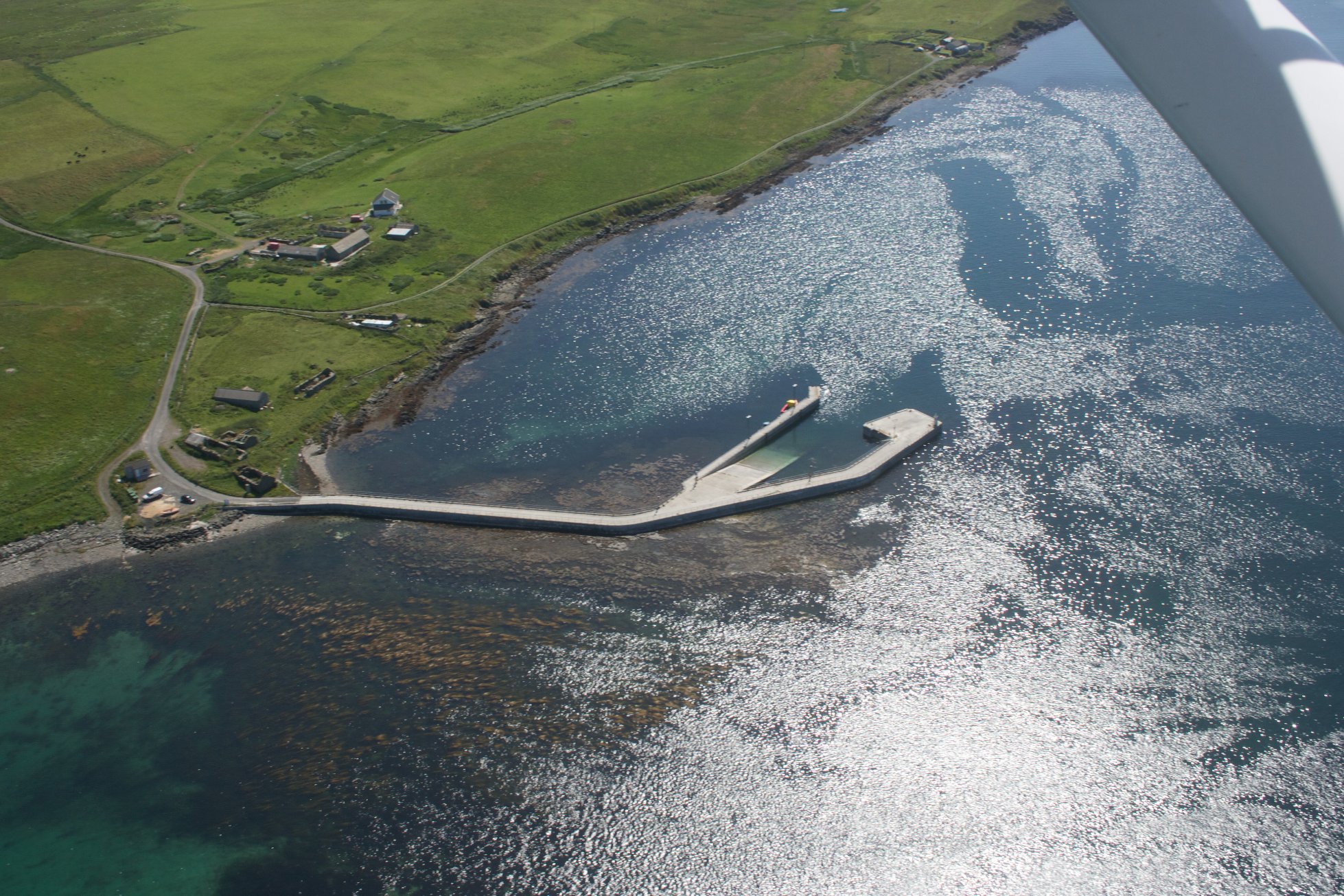
Egilsay is included in the St Magnus Way pilgrimage walk. Starting at the pier, the route takes walkers to the St Magnus Kirk and the St Magnus memorial, then to a scenic beach on the east side of the island – the links. The walk also passes the Egilsay Community Centre, located in the middle of the island in the old school.
Approximately half of island is owned by the Royal Society for the Protection of Birds and is managed to benefit wetland and farmland birds such as Skylark, Lapwing, Curlew, Oystercatcher and most notably the Corncrake. In the winter months large flocks of wildfowl can be seen offshore including widgeon, goldeneye and teal.
Egilsay is separated from neighbouring islands by the Rousay Sound – a stretch of fast flowing water that is designated as a Marine Protected Area for the important maerl and seaweed communities that have colonized the sandy floor. Maerl is a pink calcareous algae that forms nodules and branches. Over time extensive beds develop that support sedentary animals and other marine life.