 Rousay
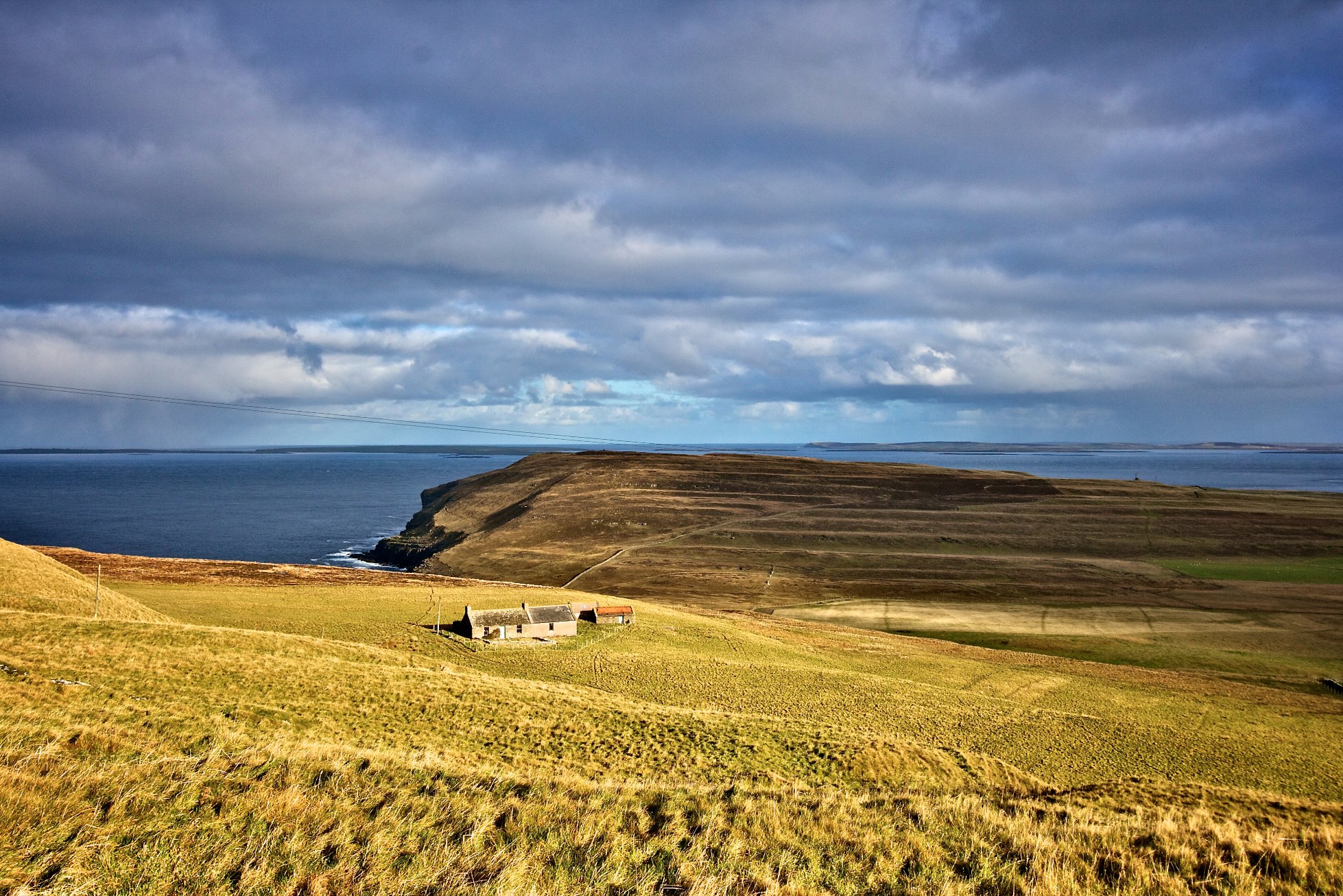
It is a comparatively large island, the fifth largest in Orkney, but with only a narrow coastal margin settled, the rest being upland in character, in rounded, moorland hills.
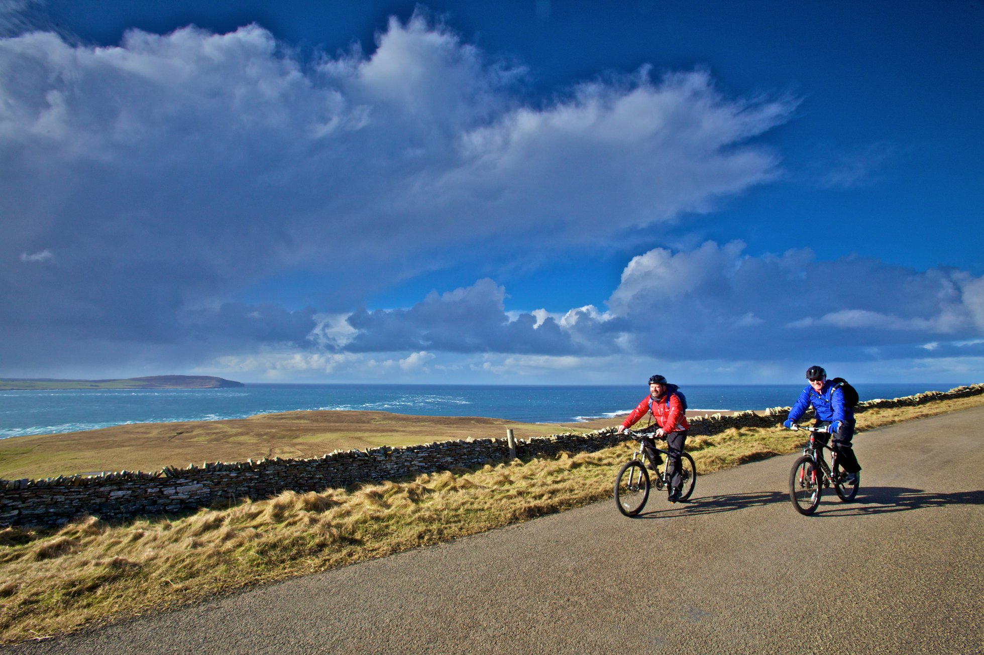
Rousay is more compact than most of the North Isles, measuring approximately six km from north to south and nine km from east to west. Brinian is the main centre of settlement. Elsewhere, settlement is scattered along the perimeter road and concentrated in the more sheltered east. The west coast is un-populated.
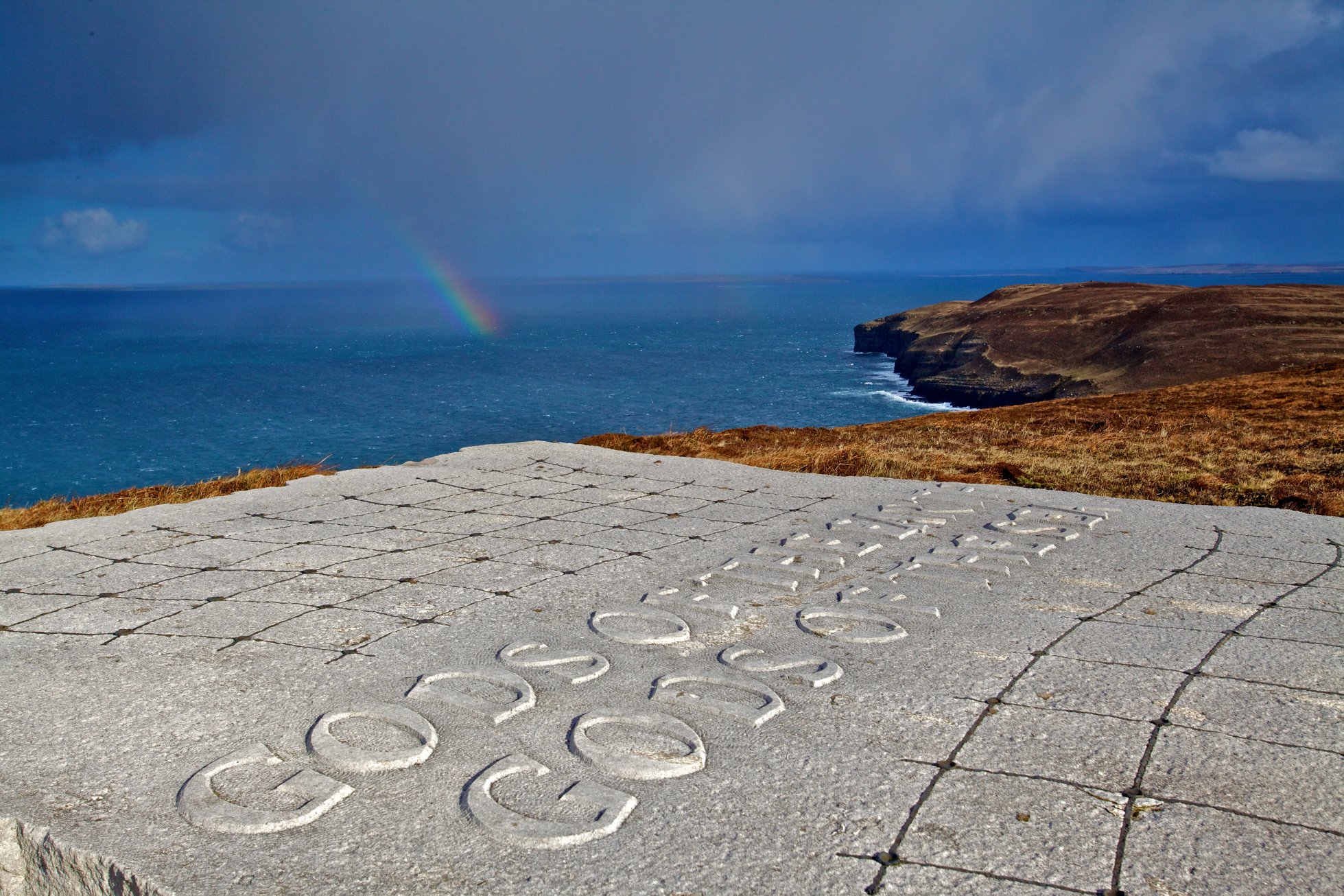
To the west of the island is the open North Atlantic, while to the north the Westray Firth is a broad seaway, also exposed to the ocean. By contrast the south and east coasts are relatively sheltered within Eynhallow Sound, Wyre Sound and Rousay Sound, with Gairsay Sound and the Inner Westray Firth outside the off lying islands of Egilsay and Wyre.
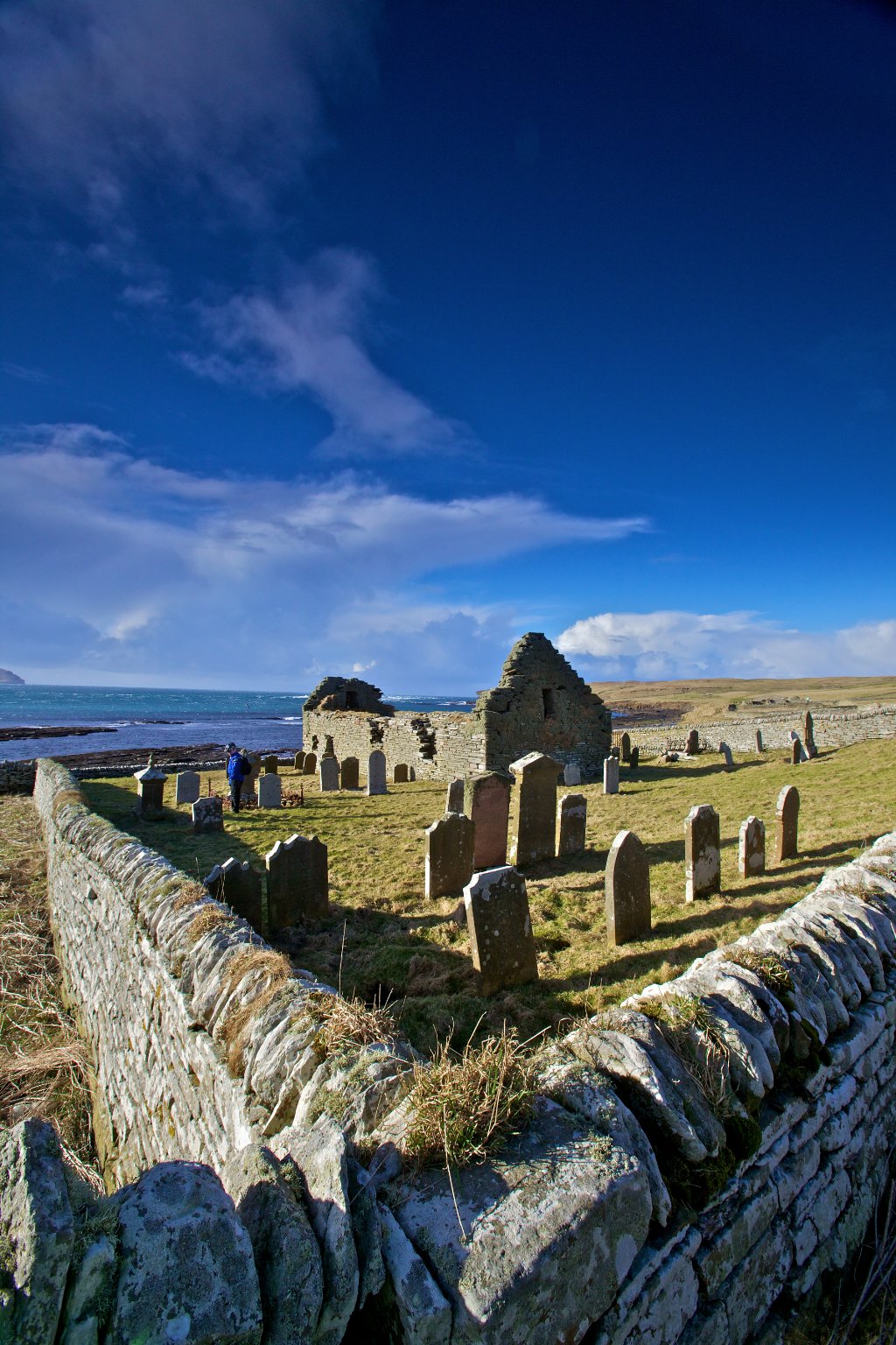
Rousay is famed for its rich and well-preserved archaeological heritage, being locally known as the ‘The Egypt of the North’. The island is populated with a variety of Neolithic tombs, Iron Age brochs and Viking and medieval ecclesiastical and settlement remains in a dense cluster on the island’s south and southwestern sides. These sites are the focus of the popular Westness Walk, which incorporates sites from the Neolithic through to post-medieval period. The Neolithic remains range from the massive stalled tomb at Midhowe, to the small double-decker example of Taversoe Tuick.
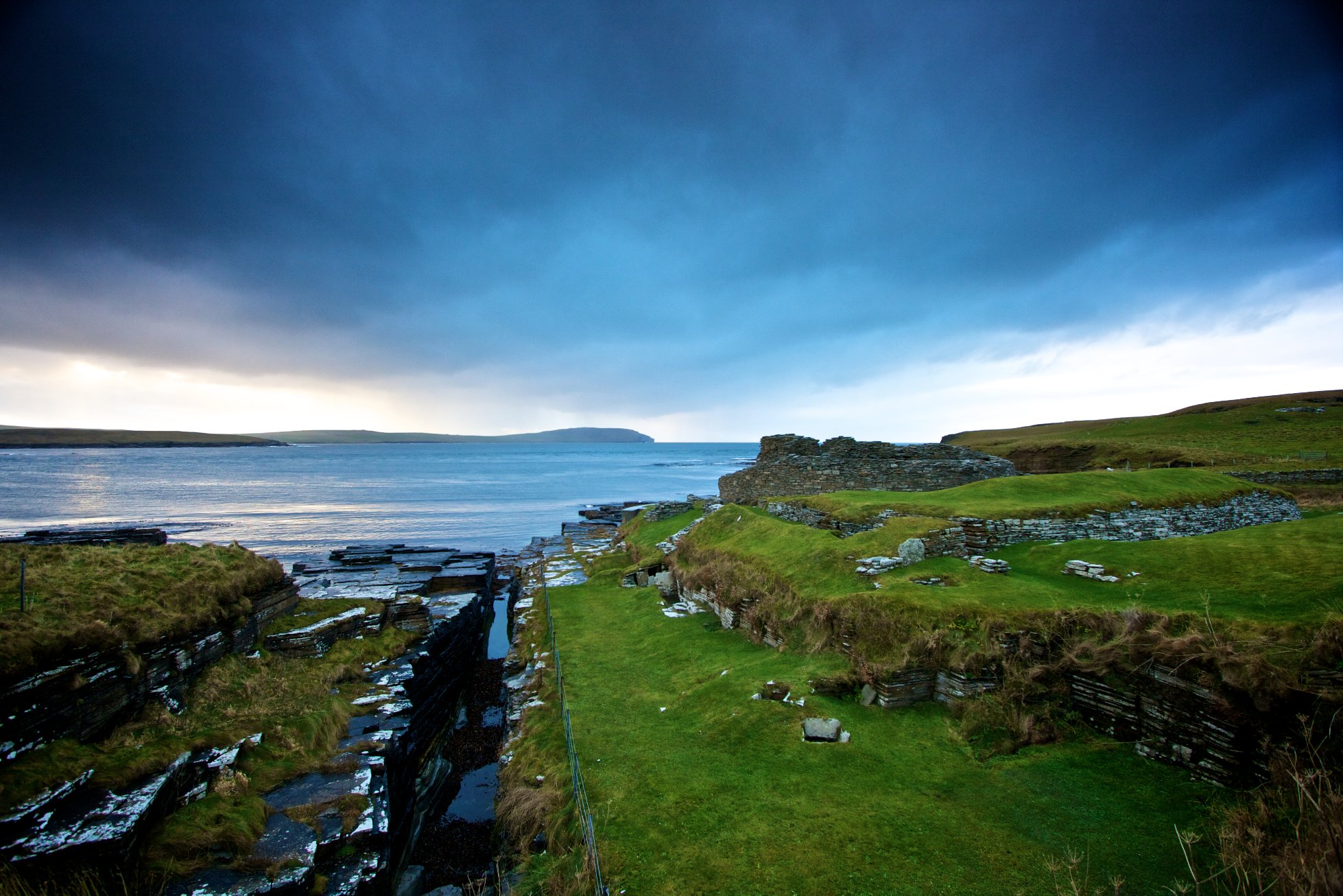
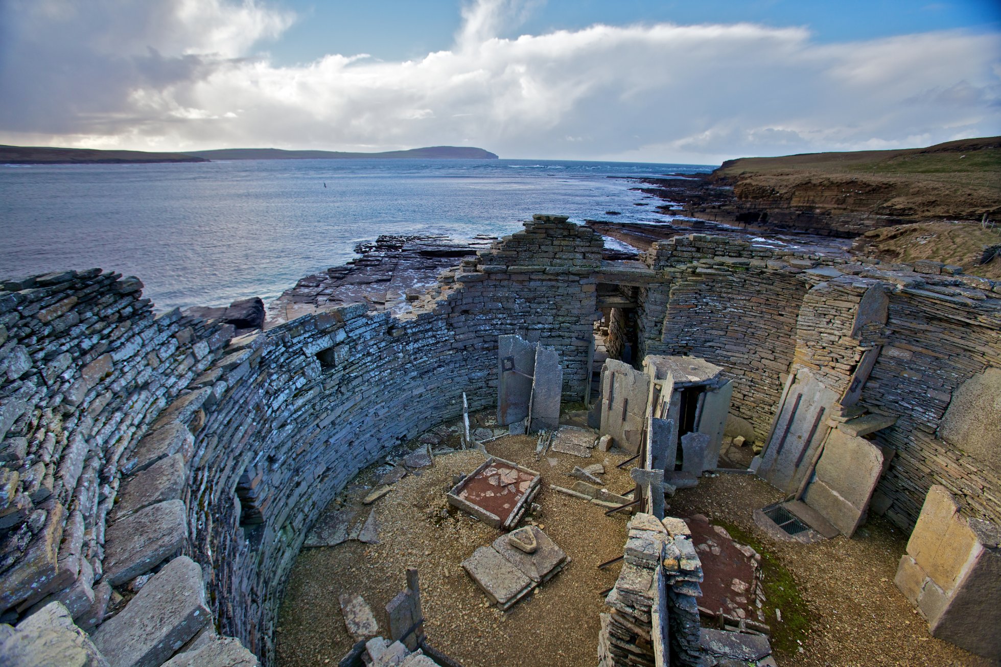
The Bronze Age on Rousay is largely represented by barrow mounds and burnt mounds, whilst a dense concentration of brochs on the south west coast dominates the Iron Age settlement record.
Rousay’s important wildlife habitats include subalpine wet heath, blanket bog, maritime heath, maritime grassland, lochs and plantation woodland. A Site of Special Scientific Interest (SSSI) covers a large part of the interior of the island along with sections of the coast to the west and north including Faraclett Head. This site is important for its breeding assemblages of moorland birds and seabirds and plants such as Alpine Bearberry. A Special Protection Area (SPA) recognises Rousay’s significance for its breeding seabirds including cliff nesters such as auks, Fulmars and Kittiwakes and seabirds of more open areas such as Arctic Skuas and Arctic Terns. An RSPB reserve covers a southern section of the SSSI and is home to moorland breeding birds, including Red-throated Diver and plants such as Serrated Wintergreen. The island’s largest designated site is the Marine Protected Area (MPA) which incorporates the waters between Wyre, Egilsay and Rousay. These waters are important for geomorphology, seaweed communities and maerl beds.

