Sanday
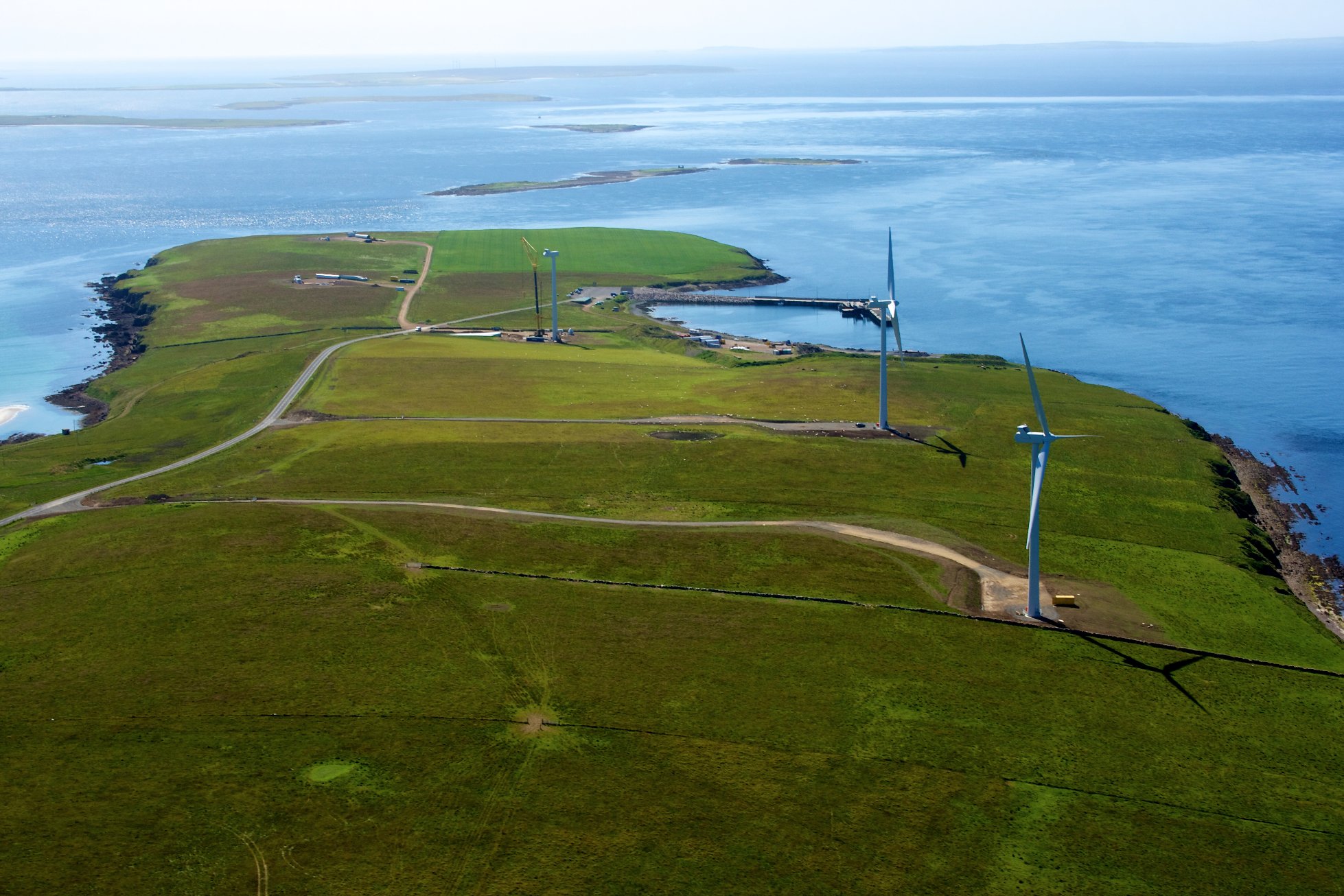
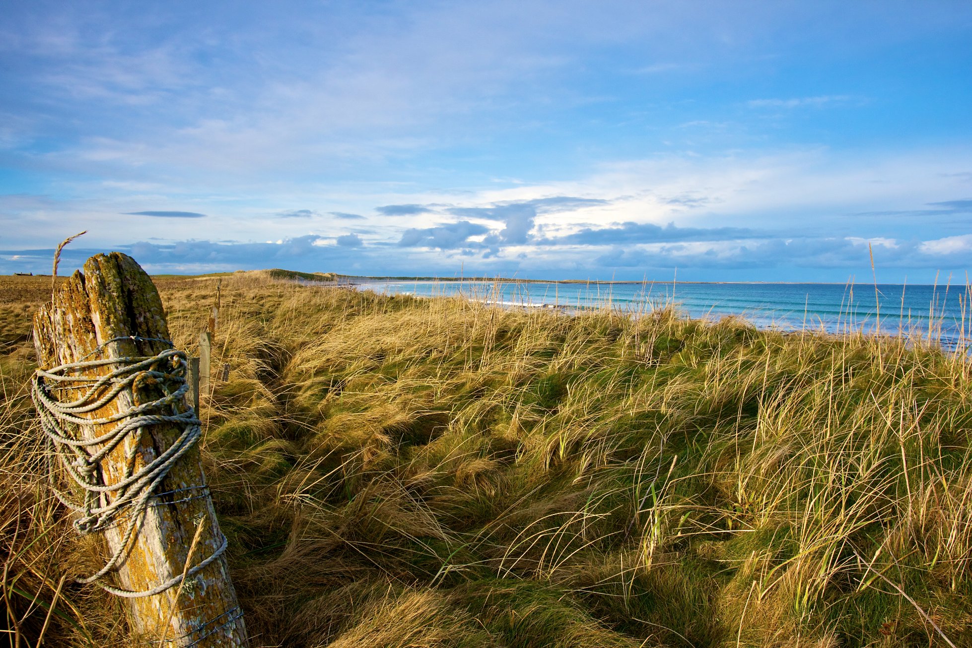
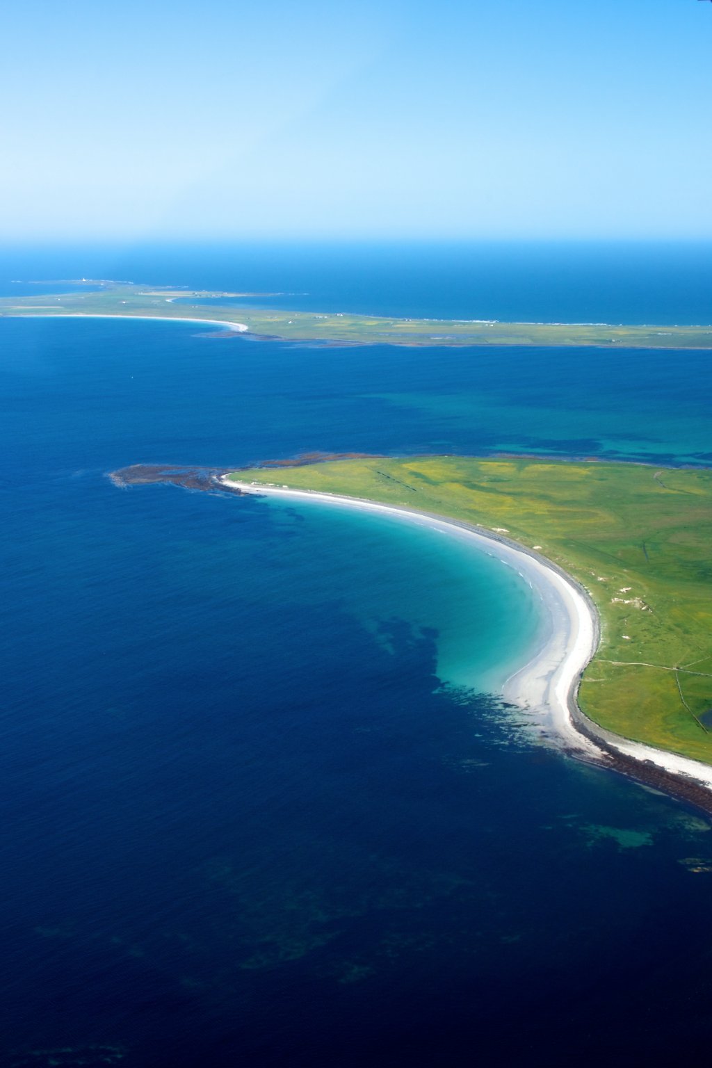
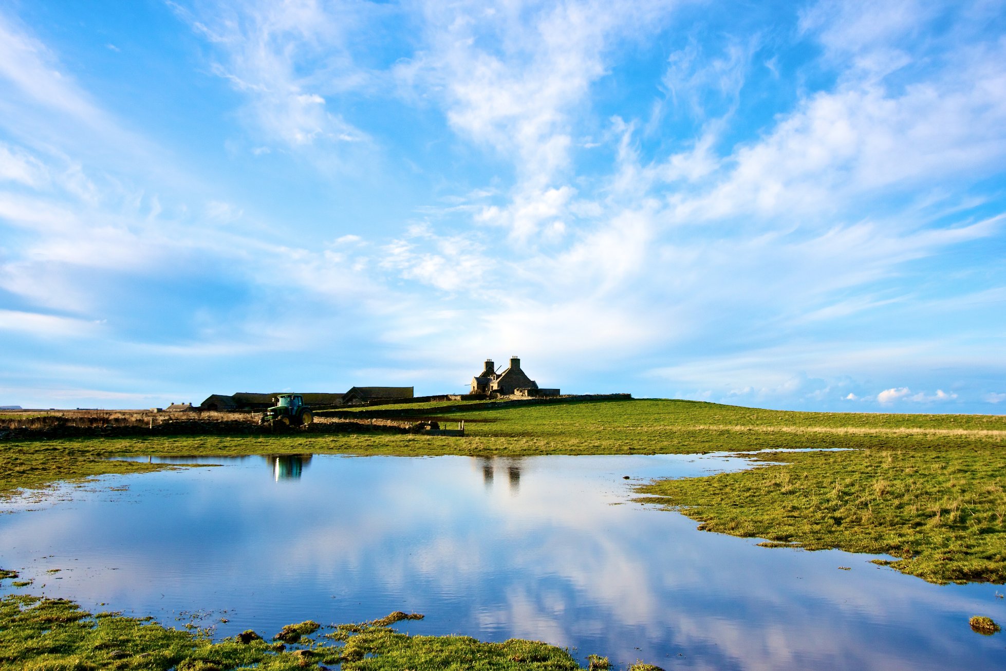
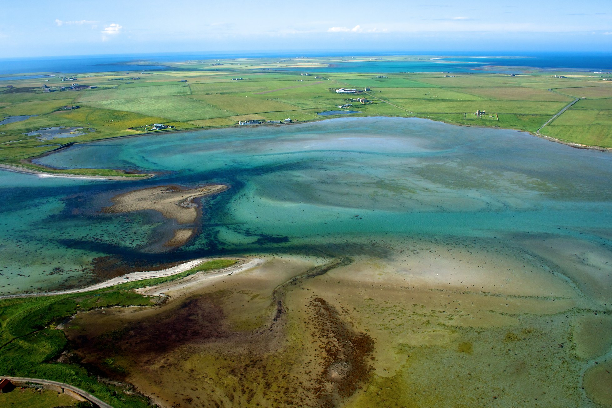
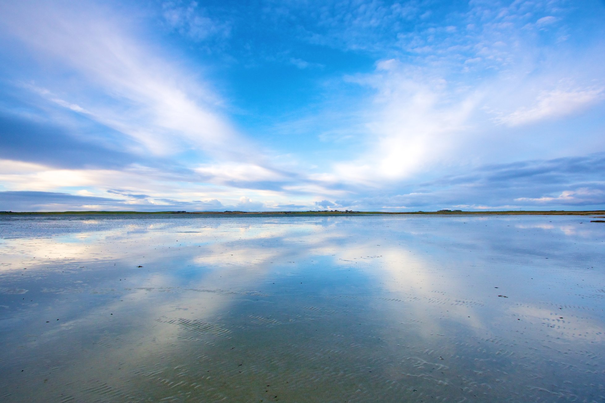
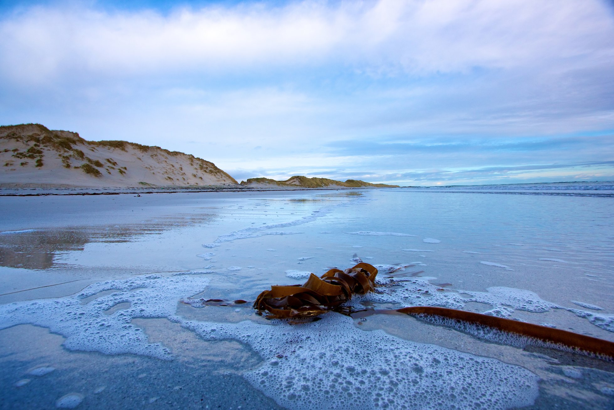
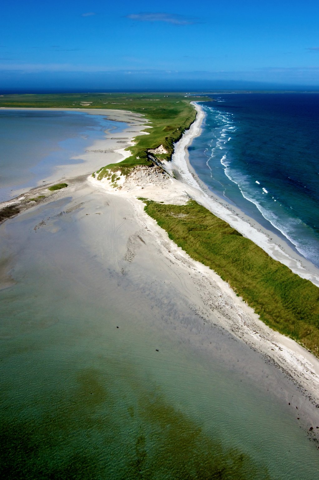
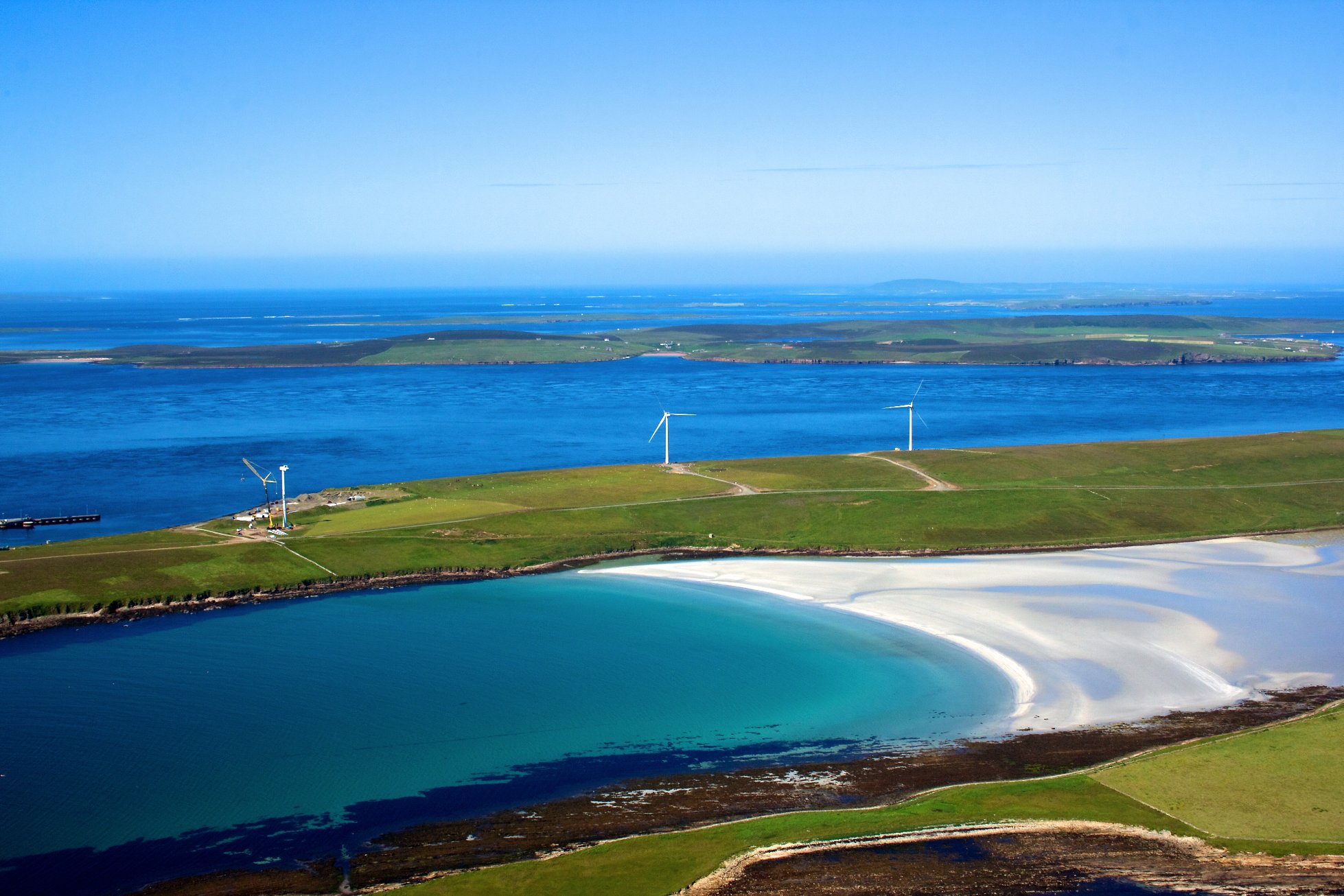
Sanday has been formed by sand deposits that have connected a group of skerries to form one large island. Large expanses of sand and dunes are interspersed with low rocky headlands. There is a low rounded ridge on the west side while the rest of the island is elongated, low lying and narrow, dominated by the sea and exposed to maritime influences. The landscape is predominantly farmed with a grid of fields and the island roads follow the field boundaries. The exceptions to this pattern are the areas of coastal dune and sandy links.
Sanday is split into roughly two equal halves by Otterswick Bay in the north and Kettletoft Bay in the south. It is settled throughout.
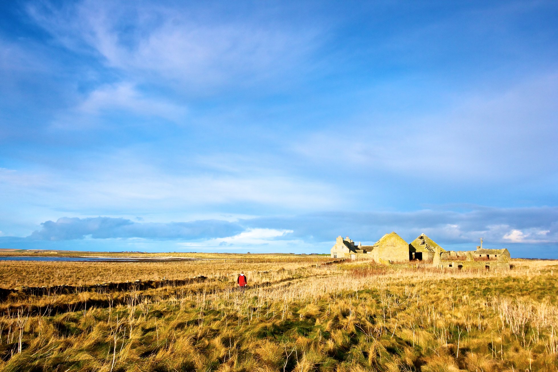
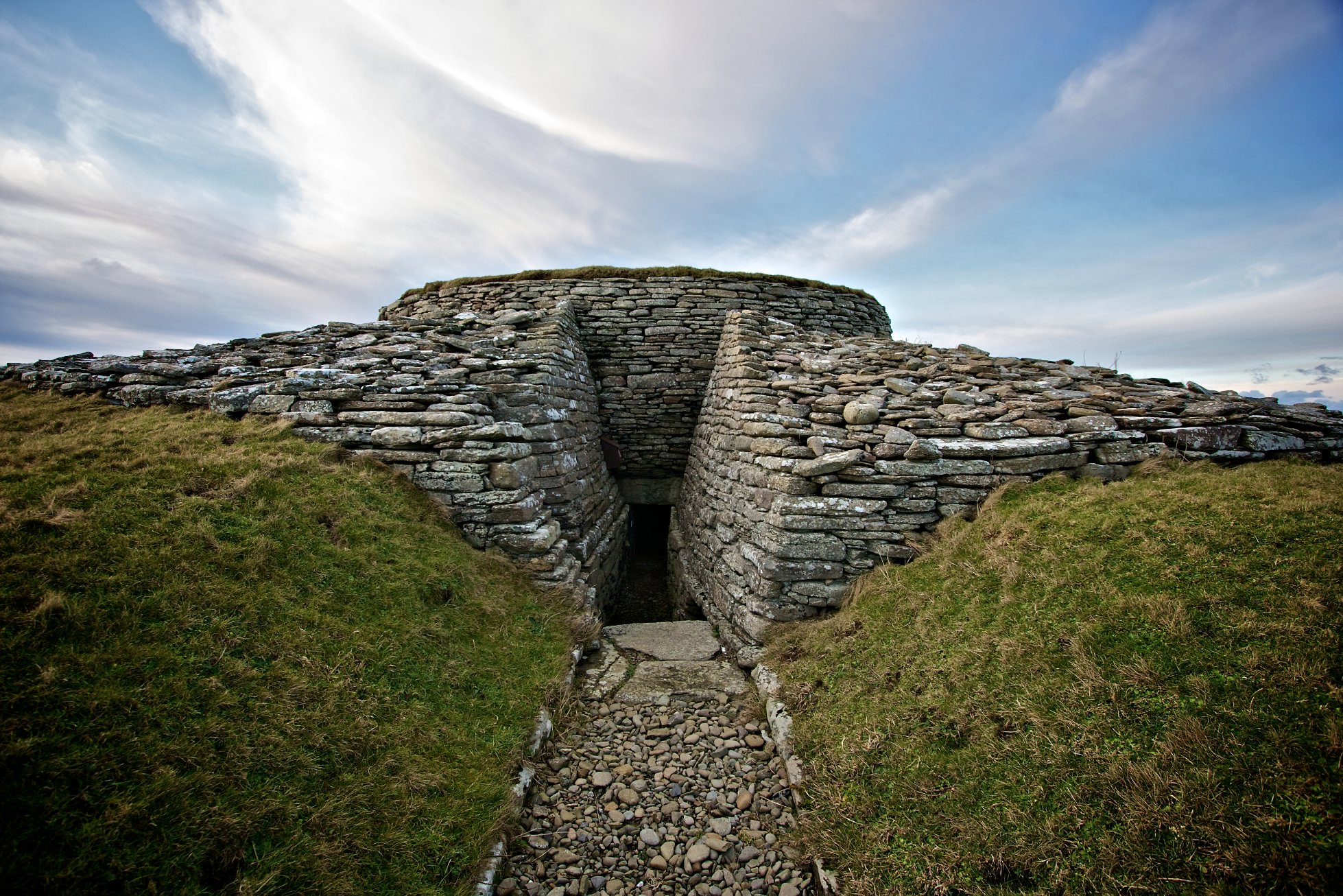
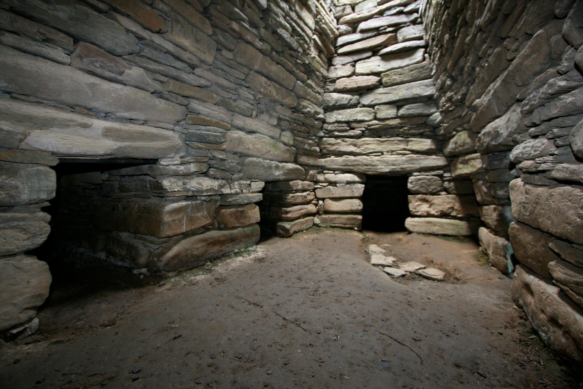
Sanday is rich with archaeological remains, which is largely due to the nature of the island’s landscape and its rich fertile land. Spanning at least seven millennia,finds range from the Mesolithic presence identified at Otterswick to the remains of the World War II accommodation camp at the Bay of Lopness. The burial cairn at Quoyness is the best known and most accessible Neolithic tomb on the island but there are numerous others. Another important site is on the Tofts Ness peninsula at the north east tip of the island. It is a multi-period site including many burial and settle mounds from the Neolithic to the early Bronze age and the late Bronze age to early Iron age.
Sanday’s coastal waters have the largest number of wrecks recorded of all the North Isles. One hundred and ninety are listed, including aircraft and various types of sea vessel. Remnants of the WWI German Destroyer B-98 are visible at the Bay of Lopness.
The island is particularly important for wildlife, supporting numerous species of plants and animals, both inland and along its extensive coastline. Sand is hugely influential across the island’s habitats which include dunes and links, machair and machair lochs. Elsewhere there are important wetland areas including reed beds and lowland fens and along the coast can be found intertidal flats, salt marsh, coastal lagoons and vegetated shingle. There are small areas of maritime heath and grassland and even smaller areas of upland heath. Species include wading birds and wildfowl, Arctic Terns, Otter, numerous plants, including Northern Yellow-cress and Oysterplant, stoneworts and invertebrates, including three species of bumblebee.
Sanday is internationally recognised through RAMSAR (Wetlands of International Importance) and SPA (Special Protection Area) designation for its coastal habitats and their importance to species of non-breeding wading birds, and to common seal. The island’s coastal geomorphology, salt marsh, machair, sand dunes and machair loch are also important and are recognised by three SSSIs (Sites of Special Scientific Interest).