Westray
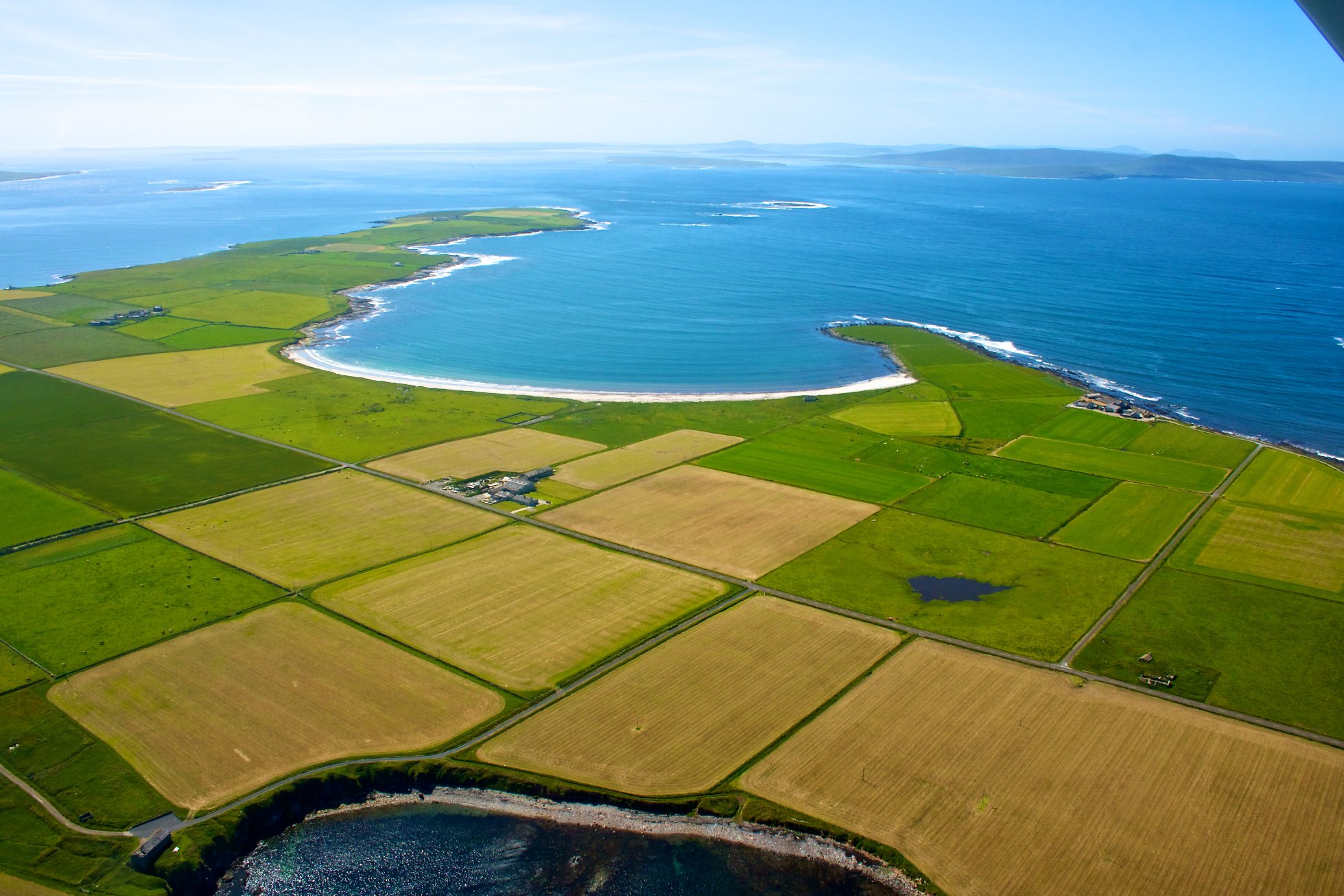
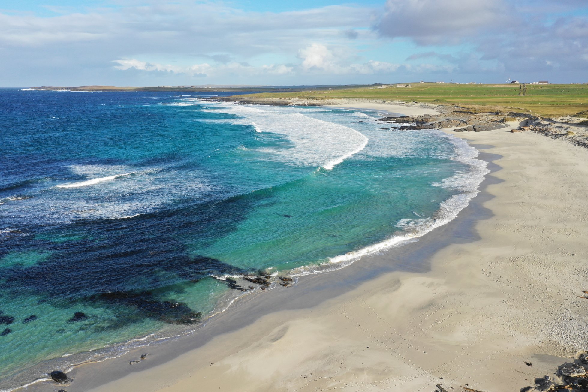
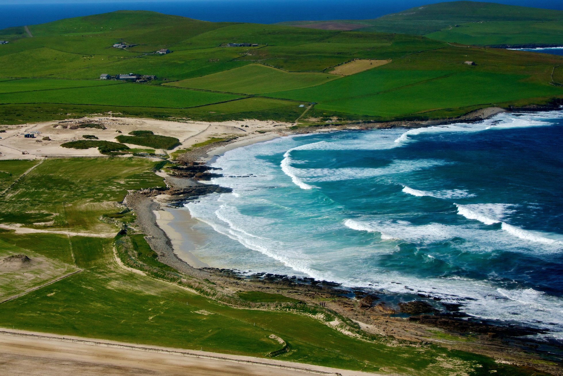
It is a large elongated island extending approximately 15km from north to south, and between two and five km in width. Despite the outlying nature of the island, it is well populated, benefiting from productive agriculture and fishing industries. The main settlement of Pierowall lies to the north east of the island, at the head of Pierowall Bay. This is the largest settlement and has ferry links to the neighbouring island of Papa Westray.
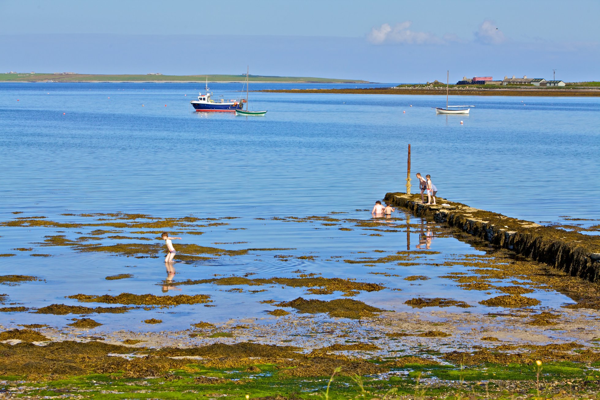
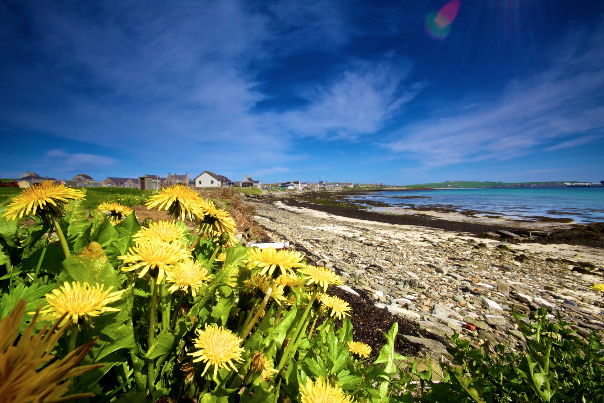
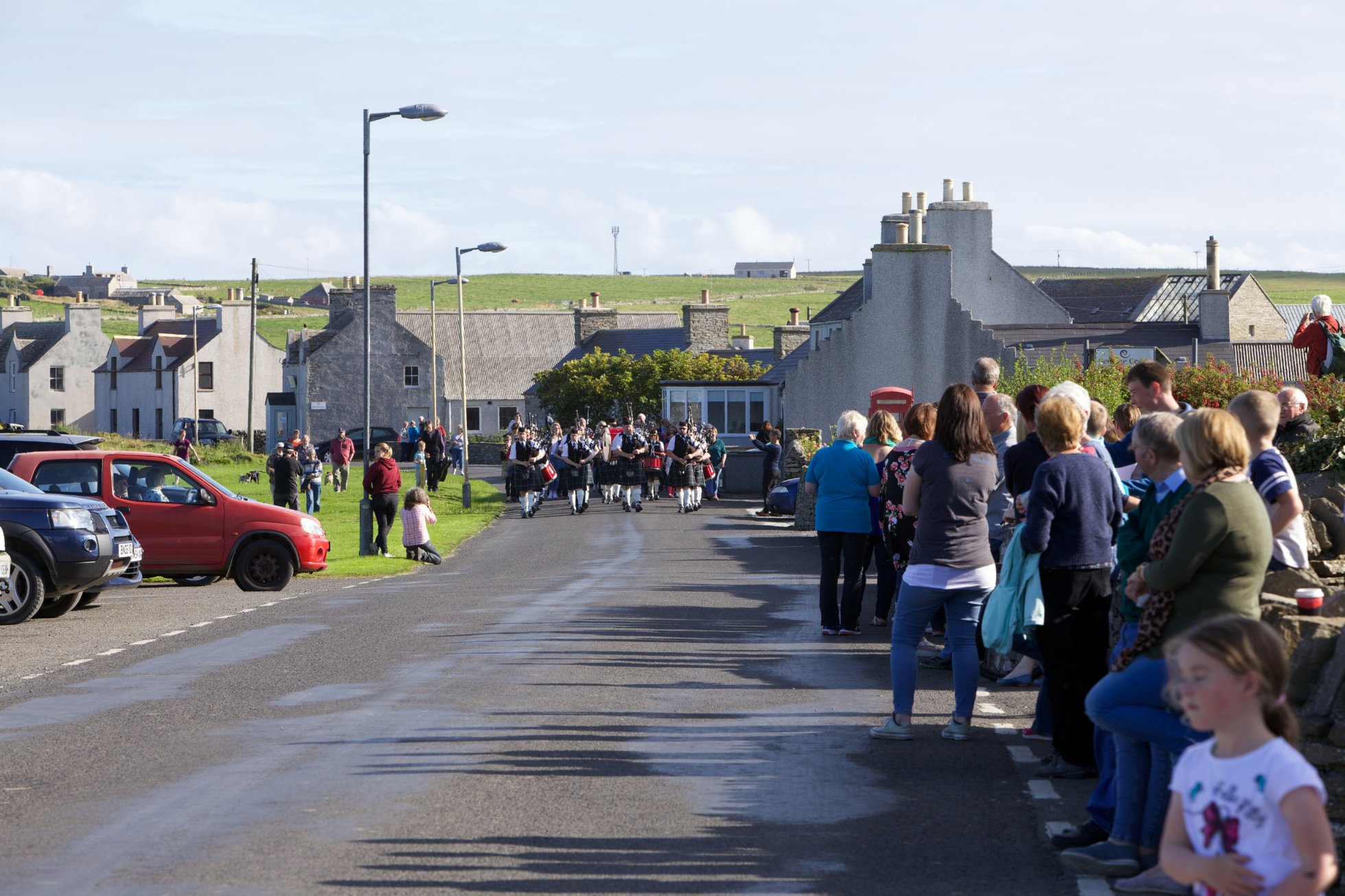
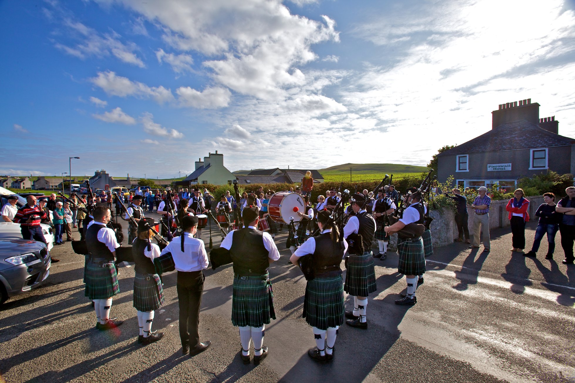
Pierowall’s natural harbour has meant this has been a focus for settlement and trade for thousands of years. It developed in the 19th century with the herring boom and continued to grow and be an important port until the decline in the early 20th century. Recently there has been a gradual increase of development around the village with new community facilities, housing and commercial development.
Neolithic and Bronze Age Sites occur across Westray but at Links of Noltland a settlement site with associated cultivation remains in an area of eroding sand dunes has received particular attention, with excavation starting in the late 1970s. In 2009, the ‘Westray Venus’ was uncovered by archaeologists at this site. The small stone artefact is a rare Neolithic representation of the human form. The figurine can be viewed at the Westray Heritage Centre.
Westray was a significant island in the Viking period, and Pierowall is recorded as being an important harbour. Behind the village a number of Viking graves were excavated in the Links in the 19th century and earlier.
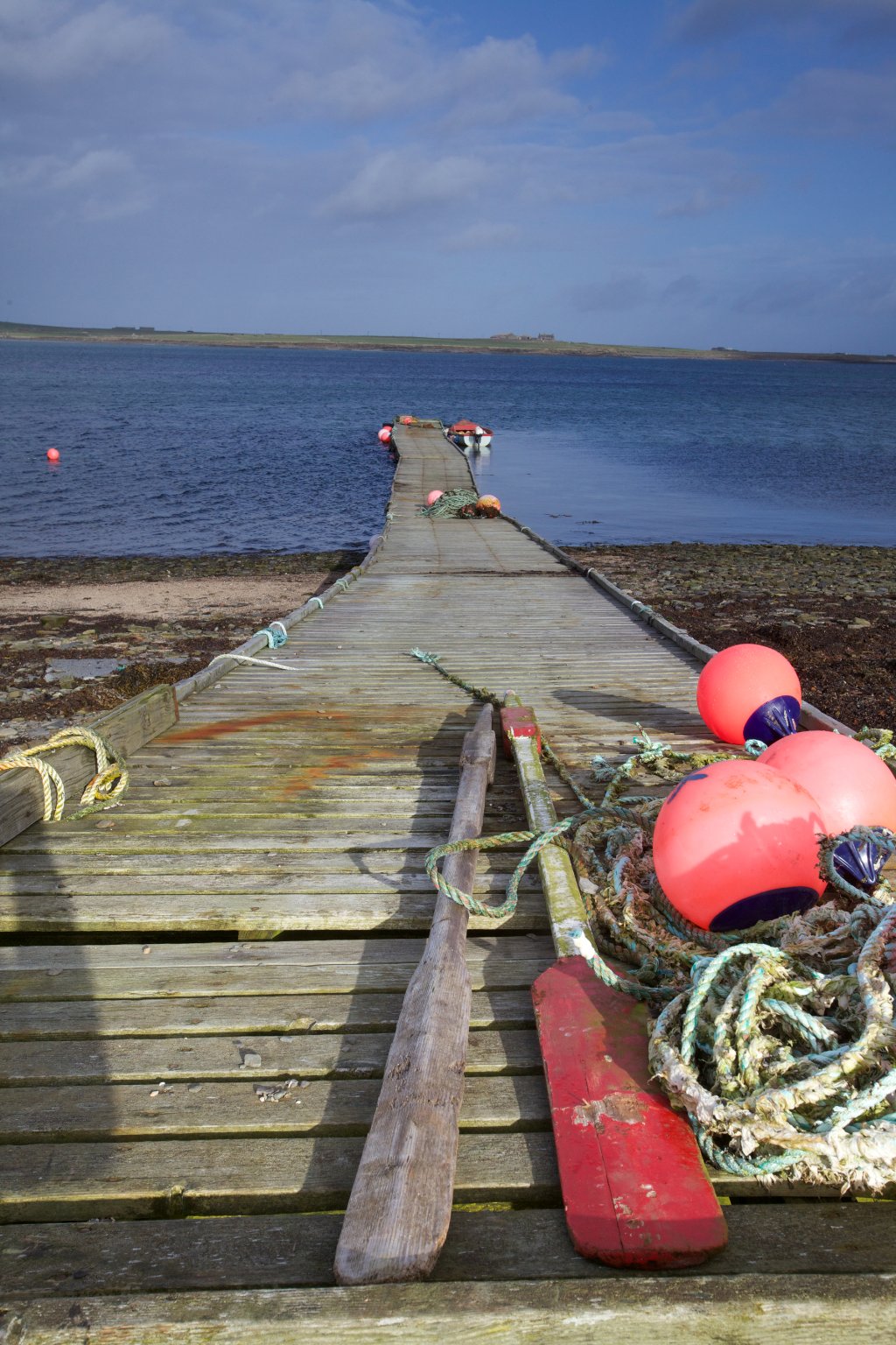
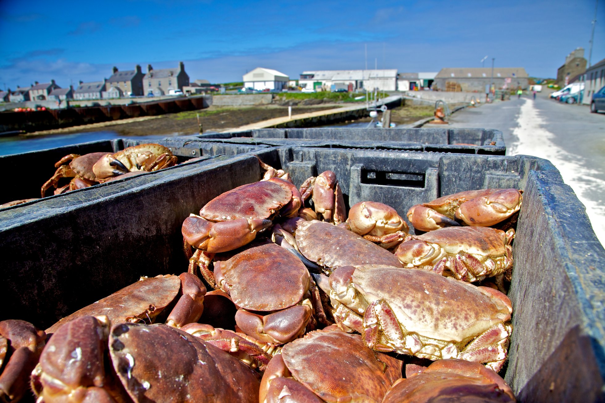
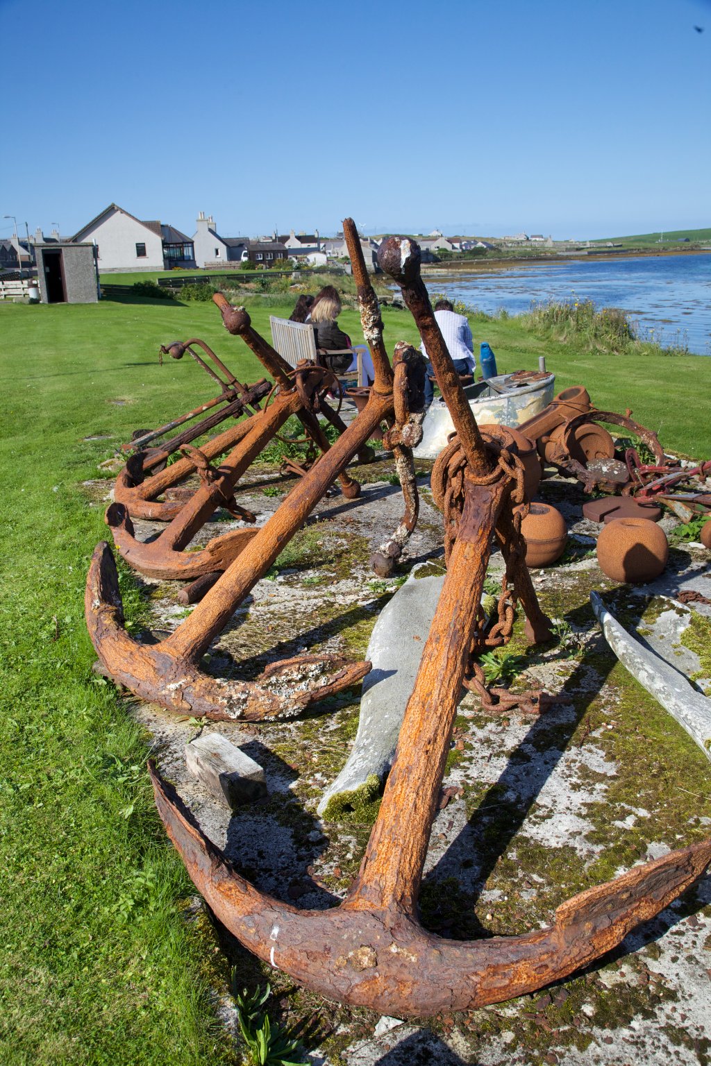
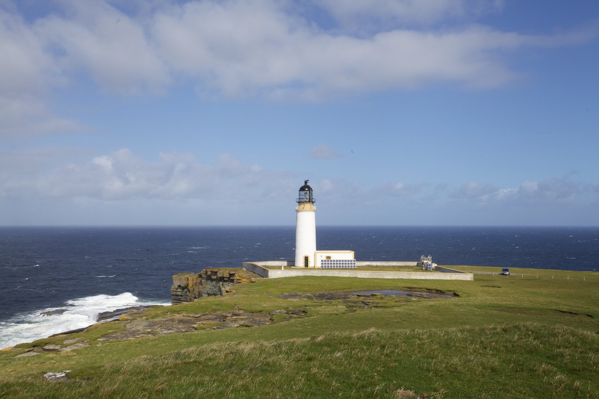
In more recent times kelp processing and export was an important aspect of life in Westray and brought in a degree of wealth, as did herring fishery in its time, and fishing is still part of island life today. Inevitably the location of the island means that the relationship with the sea has been central to the island way of life and this is evidenced by the large numbers of boat nousts and the lighthouse at Noup.
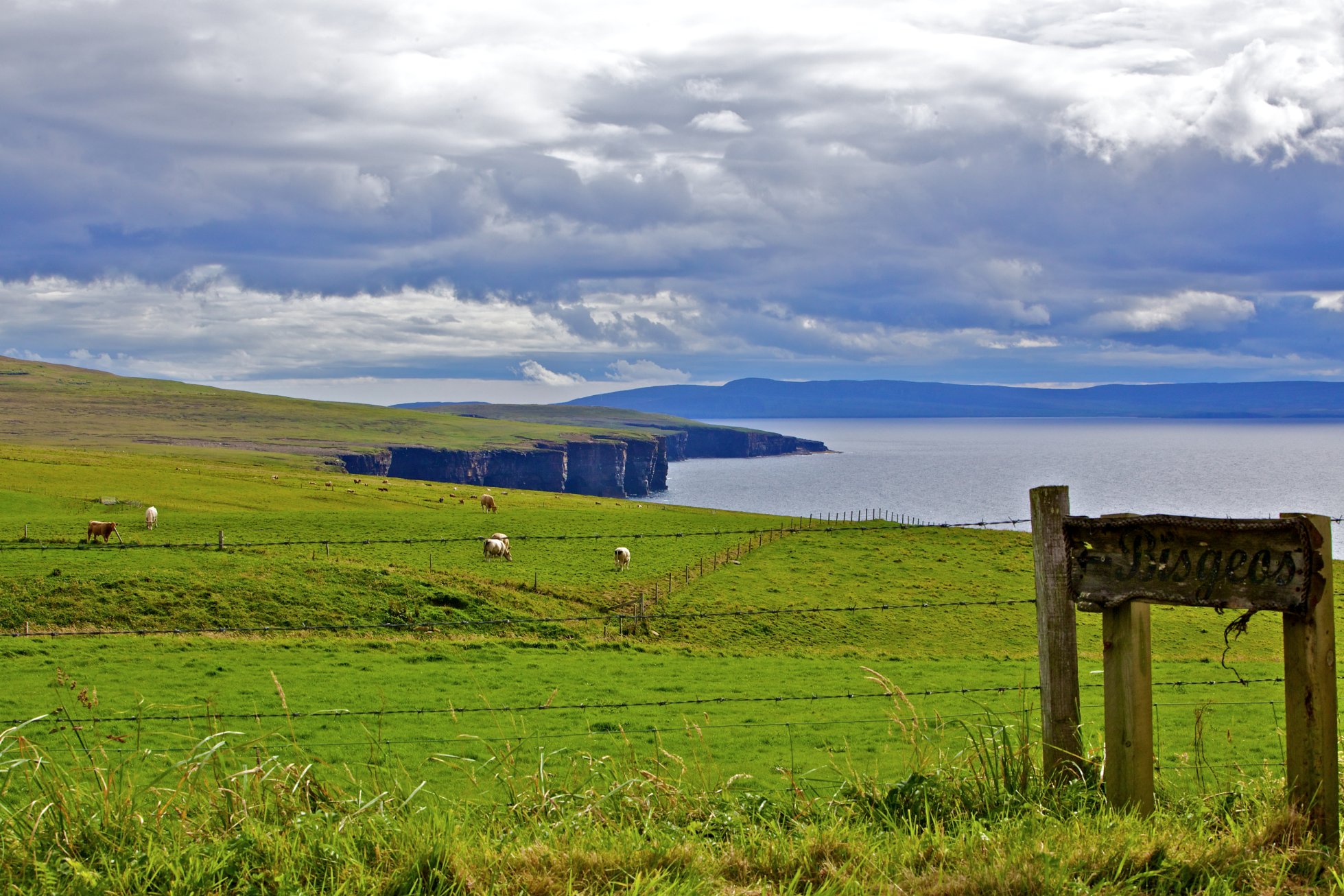
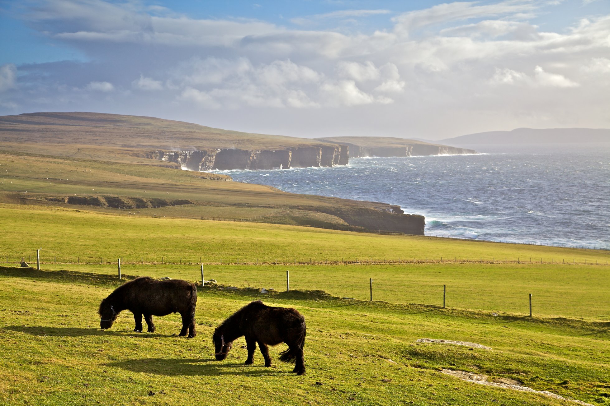
Westray has a large proportion of light friable soils which now support extensive improved grassland. The higher western hill land is the main exception where there are large areas of heathland. Other important wildlife habitats include inter-tidal mud flats, coastal sand dunes, maritime grassland, saline lagoons, lochs, reed beds and lowland fens. Westray’s western cliffs are designated as a Site of Special Scientific Interest (SSSI) and a Special Protection Area (SPA). The SSSI is notified for its maritime cliff habitats and seabird colony while the SPA is of European importance for Westray’s seabird assemblage and a variety of individual species including Arctic Skua, Arctic Tern, Guillemot, Razorbill, Kittiwake and Fulmar. The seaward extension of the SPA extends approximately two kilometres into the marine environment and includes the seabed, water column and surface. An RSPB reserve covers the northern section of the western cliffs on which a variety of cliff nesting birds breed including Gannets. Other sites are important to breeding waders and wildfowl, wintering waders, breeding Arctic Terns, Otter, and the Scottish Primrose (Primula scotica).